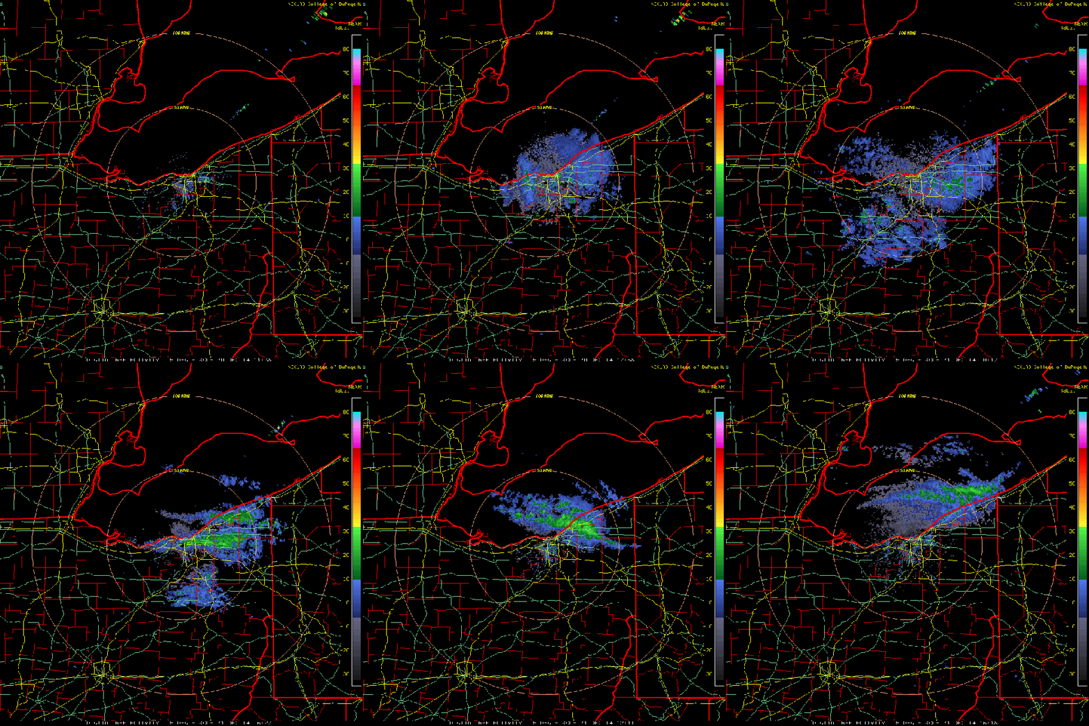
A modest lake effect snow shower event affected the Snowbelt east of Cleveland. Amounts were limited to less than 3″, which is a bit of an under-performer compared to my forecast.
Lake to 850mb temperature differentials with this event were around or a bit better than 20C, which is plenty enough. Equilibrium levels were around 7,000 feet. Winds were pretty well aligned out of the west to northwest, suggesting some convergence near the Lake Erie shoreline. One question mark before the event was moisture, with deep moisture only expected to get up to 5,000 feet above ground level.
Given this assortment of parameters, I assumed only light to moderate snow would occur under any bands, due to a lack of deeper moisture and not really high enough EL’s or instability to overcome that. I was expecting steady winds to allow any bands to stay in place, and figured that a few inches could fall on Geauga County.
The animation below shows the winds as detected by radar at Cleveland Hopkins Airport. Note how the winds shift several times between Tuesday evening and Wednesday morning (22z Tuesday-15z Wednesday). Also, note how the radar detects moisture up to 6-7,000 feet:
Next, here’s a standard loop of the radar reflectivity from yesterday and into this morning. There were bursts of moderate snow last night, but they didn’t stay in one place. Considering that there wasn’t the moisture to get 2-3″ per hour snow rates, this really kept snow totals down:
This was an event that put some lake effect rules of thumb into affect. It is very hard to get significant lake effect when moisture depth is less than 5,000 feet. You also need equilibrium levels of at least 5,000 feet to get accumulating snow in a pure lake effect situation. Heights of over 10,000 feet are preferable for significant snow. We had equilibrium levels of over 5,000 feet with moderate instability, and the moisture depth was about 5,000 feet exactly. Cloud tops got closer to the equilibrium levels and moderate snow occurred beneath any organized bands, but the snow was very light outside of the bands. The winds were well aligned (didn’t shift too much with height), but didn’t stay out of one direction long enough. This didn’t allow for a steady state band that would be needed to produce decent snows with such marginal moisture depth. What this shows, is don’t overlook anything when forecasting lake effect!
Note: The times shown on the radar images are in zulu. To convert to EST, subtract 5 hours (IE, 00:00 zulu is 7:00PM EST)


